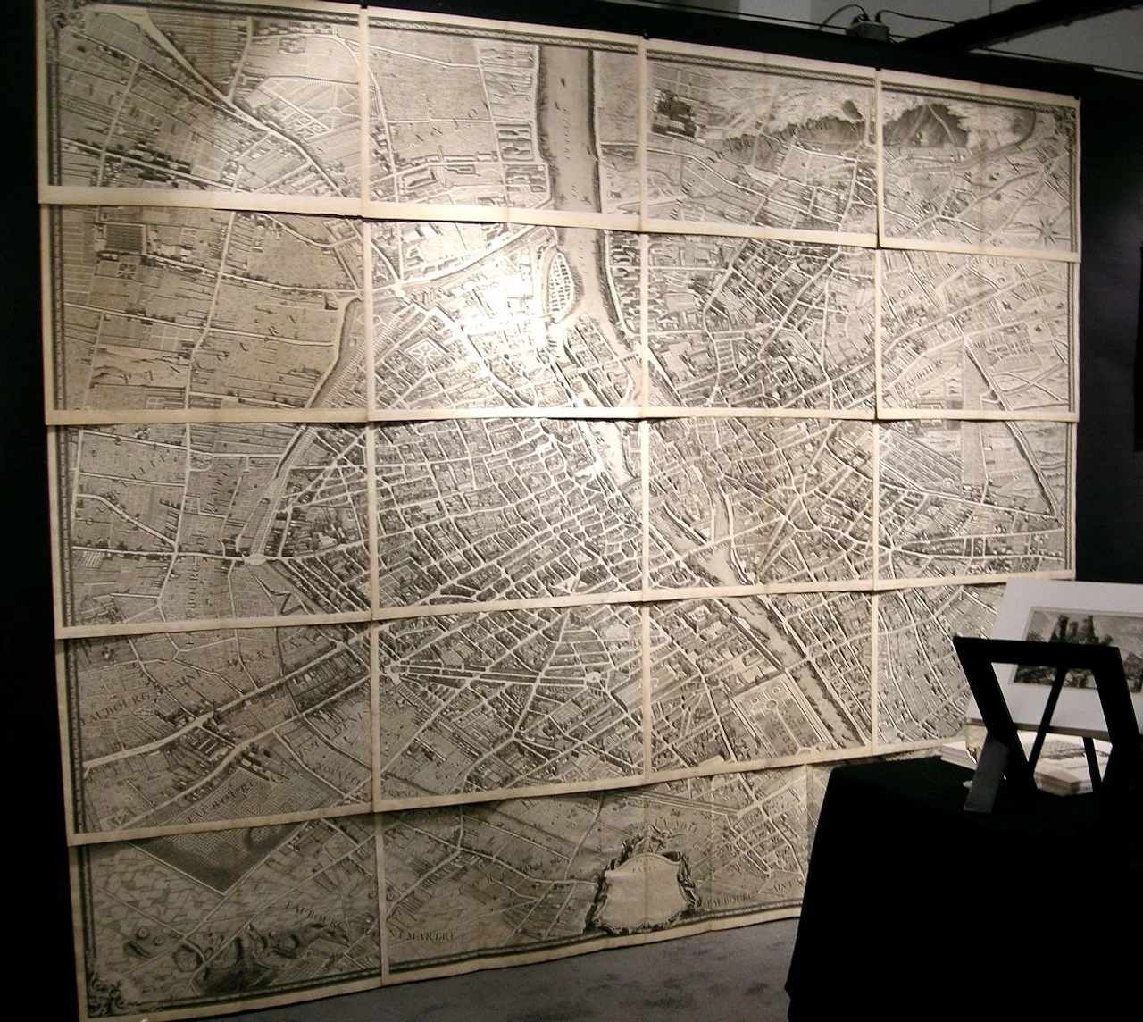
Paris Plan de Paris Turgot
Paris Plan de Paris Turgot
Plan de Paris, commence l'annee 1734. Dessine et grave, sous le ordres de Messire Michel Etienne Turgot ... Leve et dessine par Louis Vretez. Grave par Claude Lucas. Paris: s.n., 1739.
Atlas folio, contemporary gilt-decorated mottled calf, gilt-stamped Arms of Paris, fleur-de-lis corner pieces and dentelles to front and back covers, spine gilt-decorated in ten compartments with raised bands, gilt-lettered red leather spine label, marbled endpapers.
First edition of Turgot's mammoth bird's-eye view of Paris look to the Southeast, with a key map and 20 double-page map sheets (18 and 19 with large cartouche are joined and folded), and a foldout 21st sheet in outline of the map. The 20 sheets joined or individually framed would form a map approximately 9 feet high x 11 feet wide, or 99 x 127 inches.
In 1734, Michel Etienne Turgot, Prevot des Marchands du Paris from 1729-1740 (effectively the "Mayor"), approached Louis Bretez requesting a new map of the city. Turgot commissioned the map to be as accurate as possible, hoping it would have commercial benefits in promoting the city, as well as it being dedicated to Louis XV. The task took nine years to complete; Bretez's design was engraved by Claude Lucas. Condition is excellent throughout with old closed repaired tears at folds of sheets 18/19 (the large fold-out sheet with the title cartouche); a few marginal brown spots and some light soiling; manuscript ex-libris to rear pastedown; loss to head and foot of spine and to part of the covers, replaced with matching calf; otherwise, internally, very good in a fine contemporary binding.


