Maps + Urbanism + Celestials
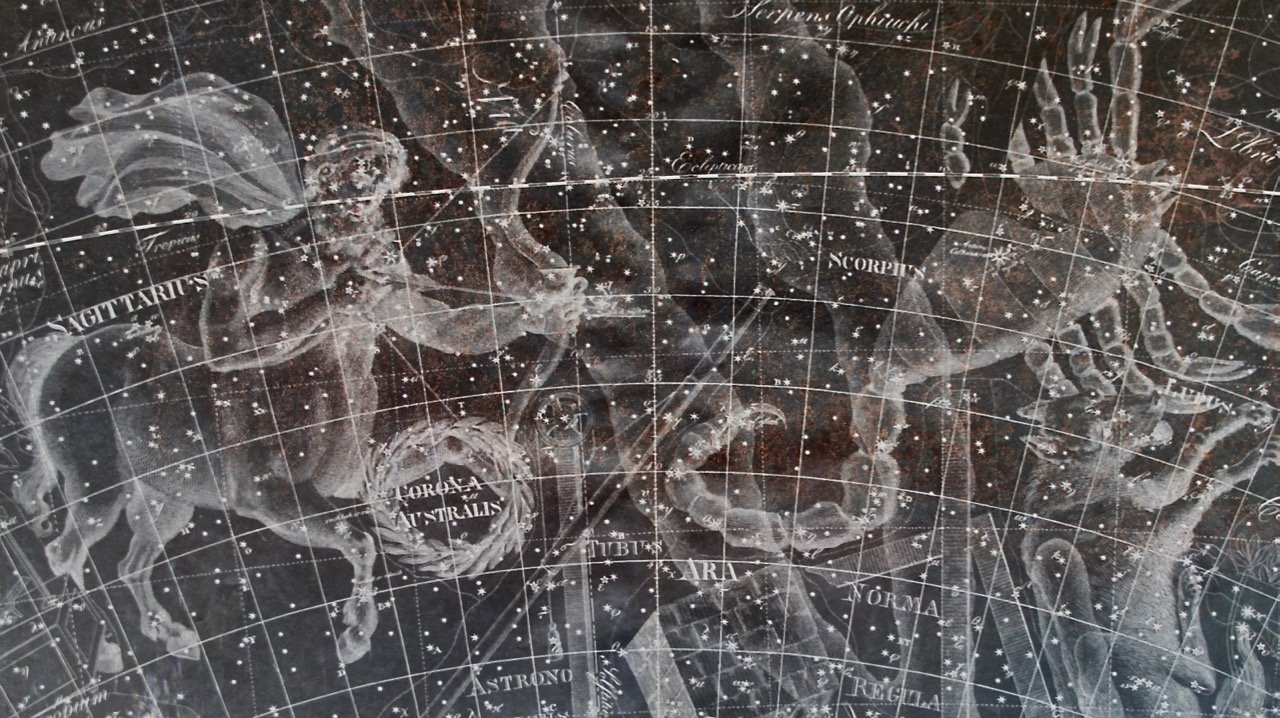
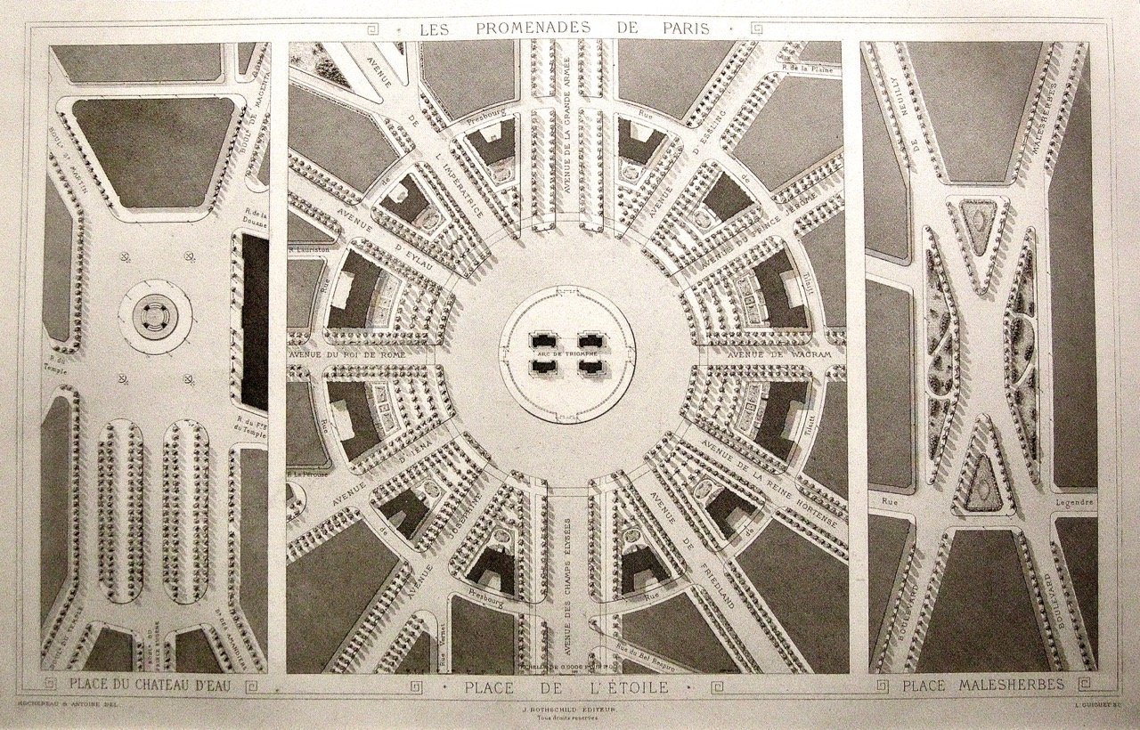
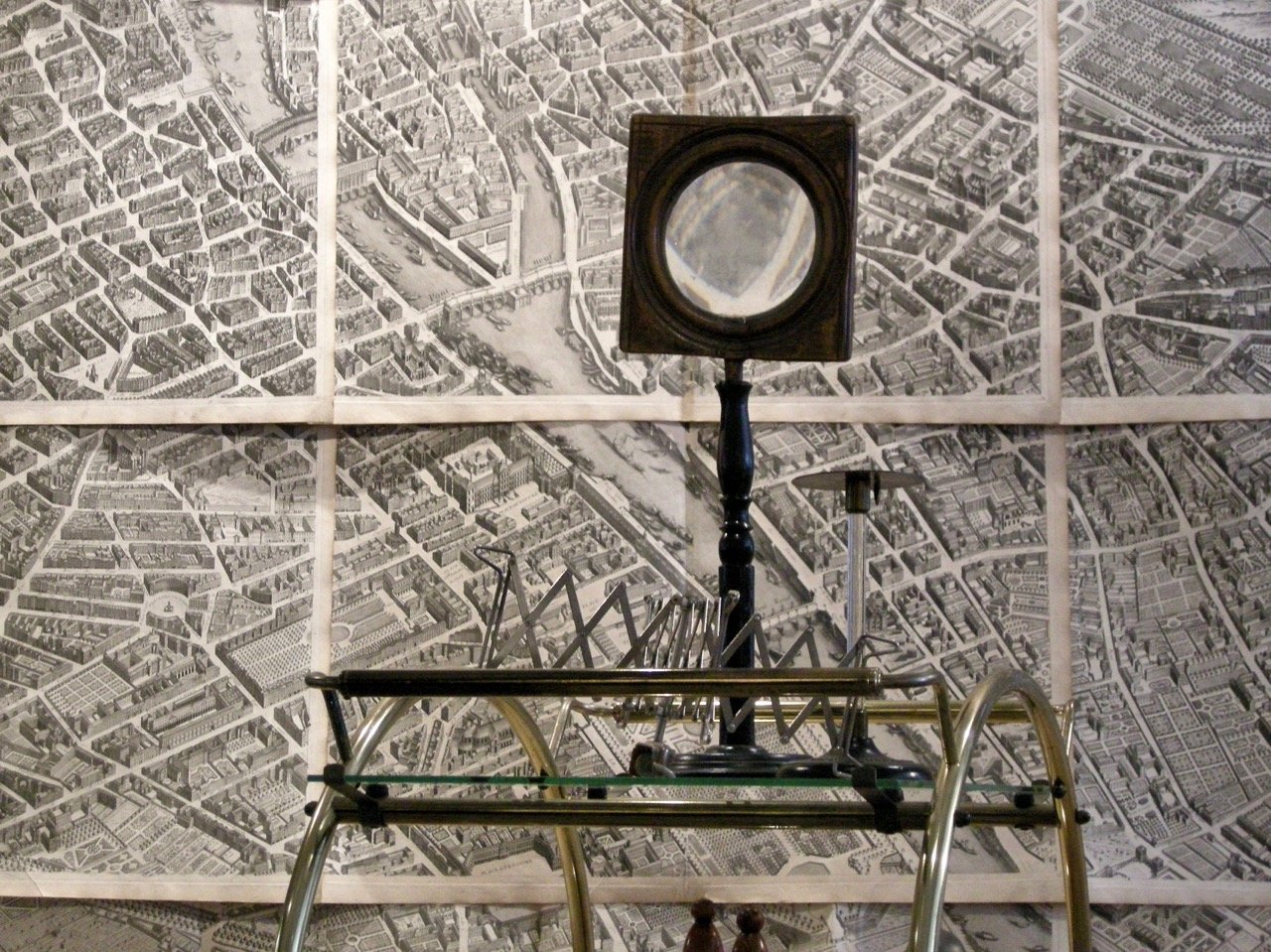
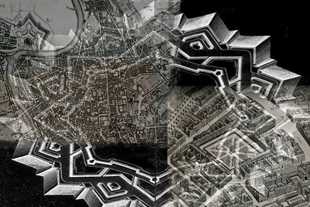
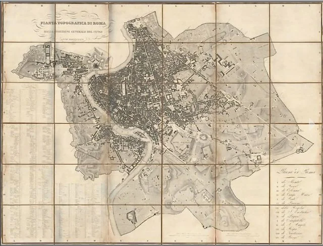
Maps + Urbanism + Celestials comprises antiquarian work-on-paper from the 16th – 19th centuries. Maps are generally of local and regional locations. They are from various mapmakers of different countries. Urbanism comprises historical city plans, or parts of plans which are either fortressed or created through urban planning and development. Celestials are embodied by Johann Elert Bode’s Uranographia, sive Astrorum descriptio. Berlin,1801. From the only edition. Uranographia is the successor to the celestial atlases of Bayer, Hevelius and Flamsteed and was “the most extensive and largest of the great atlas of its kind.”
Gurari Collections is an e-commerce website. Please select a category below to browse Maps + Urbanism + Celestials inventory, or click on a featured image to be taken to its inventory page.
