Scotland
Scotland
$100.00
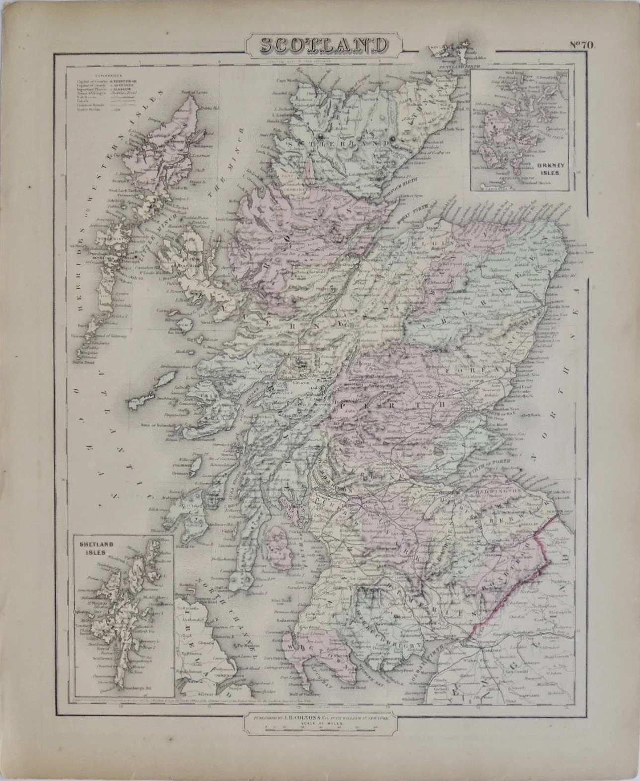
Map from Colton’s General Atlas of the World, Illustrated Physical and Political Geography, by G W. Colton & Company, New York, New York, 1859. Nice hand coloring shows many of the geographic details of the time period.
Maps published by J.H. Colton can be found in Library of Congress, state collections, and university & museum collections.
Original hand colored steel-plate lithograph maps. Folio app. Full margins, very good to excellent condition.
14” x 17 1/4”